.jpg)


hydrone & Heli Rezia
Robotics
Analysis of Sediment Origins After Heavy Rainfall Event in Misox Thanks to hydrone
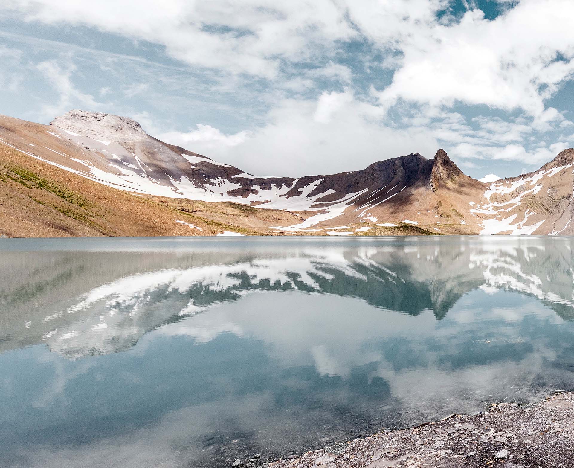
On June 21, 2024, a heavy rainfall event (80mm in 90 minutes) occurred in the Misox region, where the Val de Roggiasca and the dam are located. This resulted in flow rates five times higher than usual in the Riale di Roggiasca. Significant damage was caused in the areas around the Lostallo and especially the Grono power plants. In addition to damage to water intakes, pressure pipelines, and tunnels, approximately 40,000 m³ of sediment accumulated in the reservoir. As part of the restoration efforts, these sediments were removed and deposited on the airside of the dam. However, to answer questions about their origin and potential future sedimentation, a detailed survey of the catchment area was necessary.
Execution and Impressions
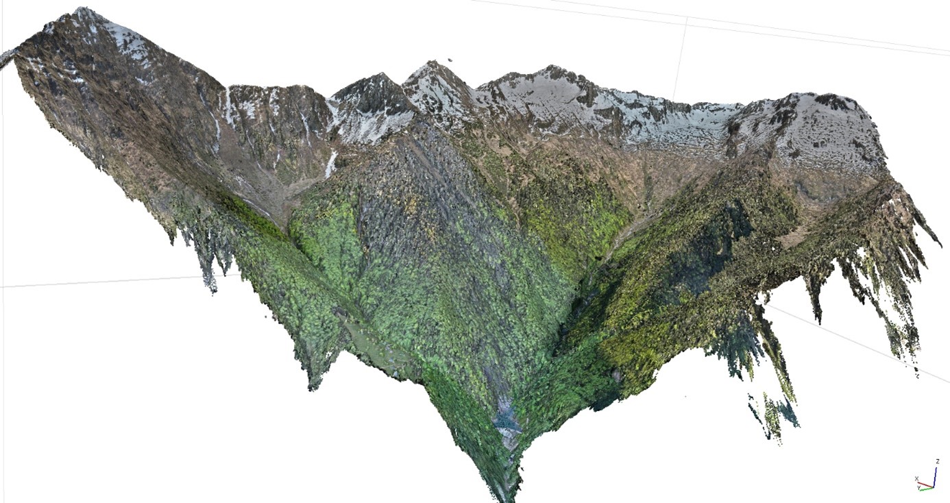
The catchment area itself covers slightly more than 10 km². In preparation, this area was divided into 16 different zones, which were systematically surveyed using drones. Taking into account the flight and communication range of the drones, and after consulting with Heli Rezia about possible landing sites, we developed a plan to complete the necessary recordings in two days with three people and from four different helicopter landing sites.
The execution began, after several weather-related delays, on a Monday morning shortly after 6:30 a.m. at the Centrale Grono. As scheduled, the helicopter arrived punctually and picked up the two of us at the power plant. For the hydrone team, it was the first time in a helicopter and a definite highlight of the internship. As soon as the helicopter landed and the downdraft allowed, we ran towards it and got on board. Flying in a helicopter is a bit like riding a roller coaster, but without the tracks and with a panoramic view. We took off and flew towards the Roggiasca dam. After less than three minutes, the helicopter landed, and we disembarked. The first flight was so short that there was barely time to catch our breath and get familiar with the situation.
A few minutes after landing, it became quiet again, and we began the planned drone flights. During the three other helicopter flights we were able to take that day, we had more time to gather impressions and memories. The last flight, which took us from a remote alpine area back to the valley in Grono, was particularly impressive. The pilot first flew high above the valley before descending steeply, giving us one last thrill of acceleration. As quickly as the day started, it was over. What was originally planned for two days turned into just one long day. Thanks to excellent collaboration with the pilot, we were able to leave the few remaining drone shots with the power plant staff.
Result
From the 19,000 images taken by the drone, a large aerial photograph of the entire catchment area was created for event analysis. This orthophoto will help identify the origin of the sediments that were washed into the reservoir and potential sites of future sediment entry. The images have a resolution of 5 cm/pixel and provide a seamless view of the entire catchment area, allowing all necessary conclusions to be drawn from this aerial image. For the hydrone team, this was a successful and extremely exciting mission that will remain in our memories for a long time.