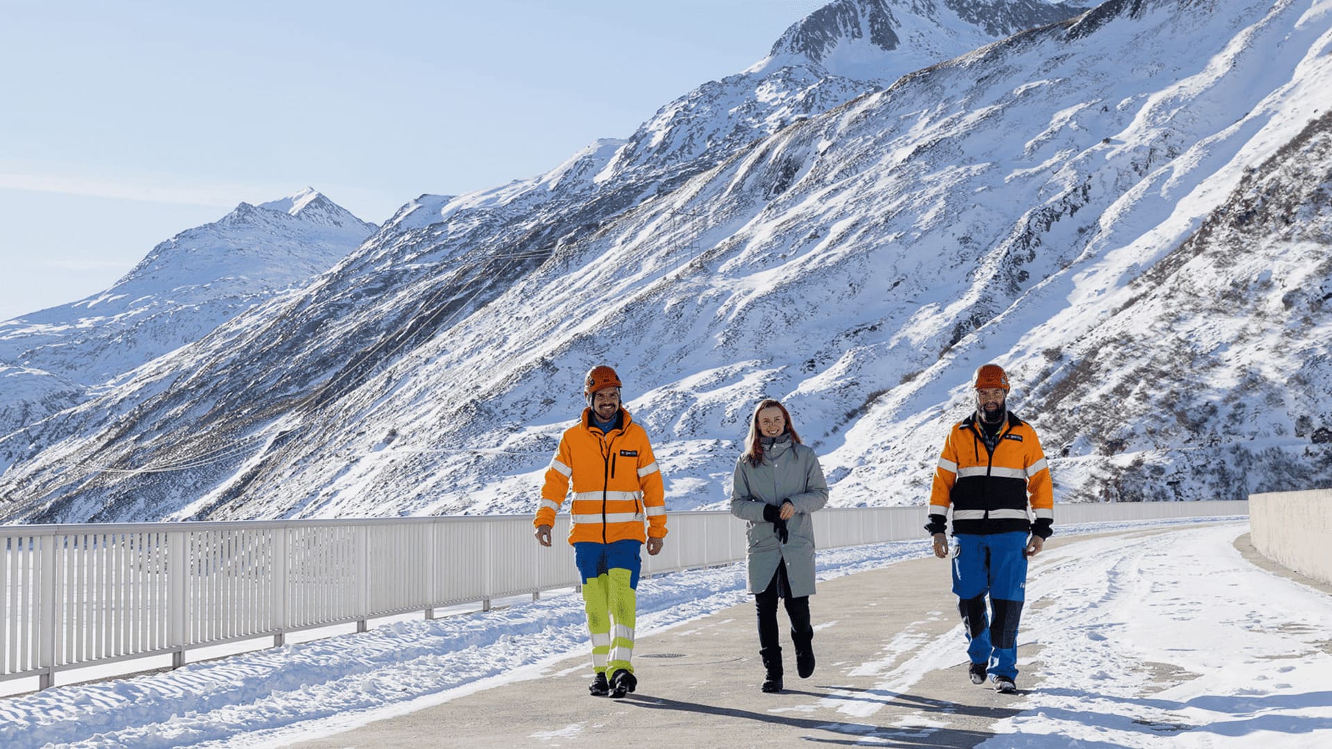
.jpg)


As-built documentation
Digital as-built documentation of structures and terrain: precise, fast, and transparent
As-built documentation
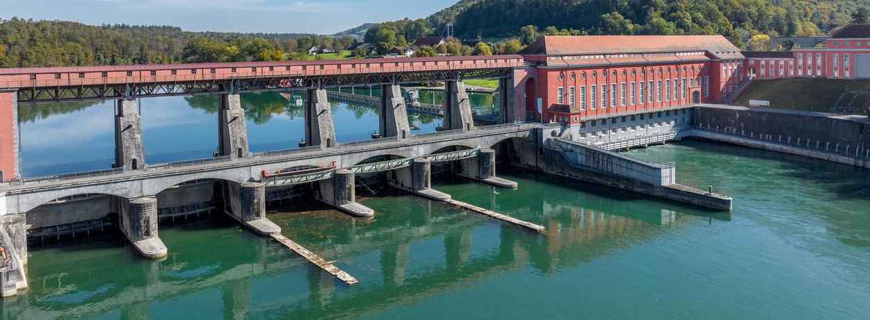
For construction projects involving existing facilities, reliable knowledge of the current condition is essential. Especially in hydropower, many projects are carried out on existing plants, whose actual construction and modifications are documented only with scanned analogue plans. As a result, there is often uncertainty about the actual condition of a structure or site.
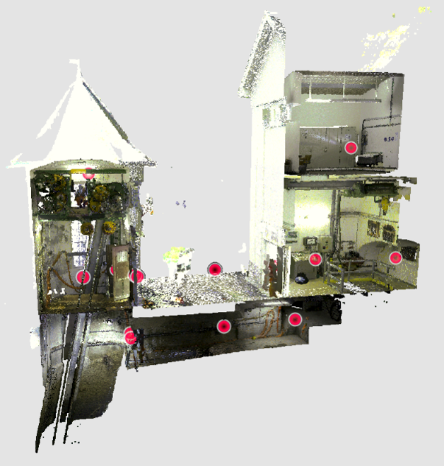
The use of modern recording technologies based on drone-supported laser scanning or photogrammetry provides a quick and efficient solution. The current condition is captured as needed from the ground or from the air and reconstructed in three dimensions. The resulting point clouds and 360° images allow for easy viewing and analysis on a PC, even for non-experts, and can serve as a basis for BIM modeling.
We offer a complete service package
-
Flexible use
Without long lead times, even during individual construction phases.
-
Secure data collection from the air or from the ground
Drone-based or terrestrial – depending on the area of application.
-
Detailed 3D point clouds and 360° images
For planning, analysis, and visual inspections.
-
Further modeling
If required.
Reliable decision-making basis for conversions and renovations – fully digitalized and flexibly deployable.
Details of the service package
The three-dimensional recording enables fast and detailed documentation of the current condition and provides the basis for precise further planning. The collected data is provided in digital form and tailored to your specific requirements. If desired, our specialists can also create BIM models from the recorded data. If we do not have the right solution available, we are also happy to provide consulting support for the use of third-party companies.
Individual recording solutions
- Recording and creation by Axpo
- Using terrestrial laser scanning
- Drone-based laser scanning
- Drone-based photogrammetry
- Consulting and support for special surveys (e.g., volume monitoring of bulk materials)
Detailed results
- Georeferenced point clouds
- "Walkable" models for non-experts (similar to Street View)
- Basis for BIM modeling
References:
«The laser scan recordings provided a precise basis for our 3D modeling. This is a major advantage, especially in confined spaces. At the same time, we were able to validate the as-built plans, identify deviations at an early stage, and make the overall modeling process significantly more efficient.»
Manuel Binda Division Construction, Axpo Power AG
«The resulting 3D model provides important details of the existing structures and allows for very precise and efficient planning. All information is available at any time, without the need to enter the structure.»
Pietro Garbani Nerini Division Dam, Axpo Power AG
Download
- Service Beschreibung Bestandsdokumentation (DE) | 847KB View Send email Download
Interested ?
Please feel free to contact us. You can provide your contact details via the link below, and we will reach out to you promptly.