
.jpg)


Deformation Monitoring of Terrain
Deformation Monitoring of Terrain : comprehensive, risk-free, and efficient
Accurate insights into movements and volume changes – without the need for on-site inspections
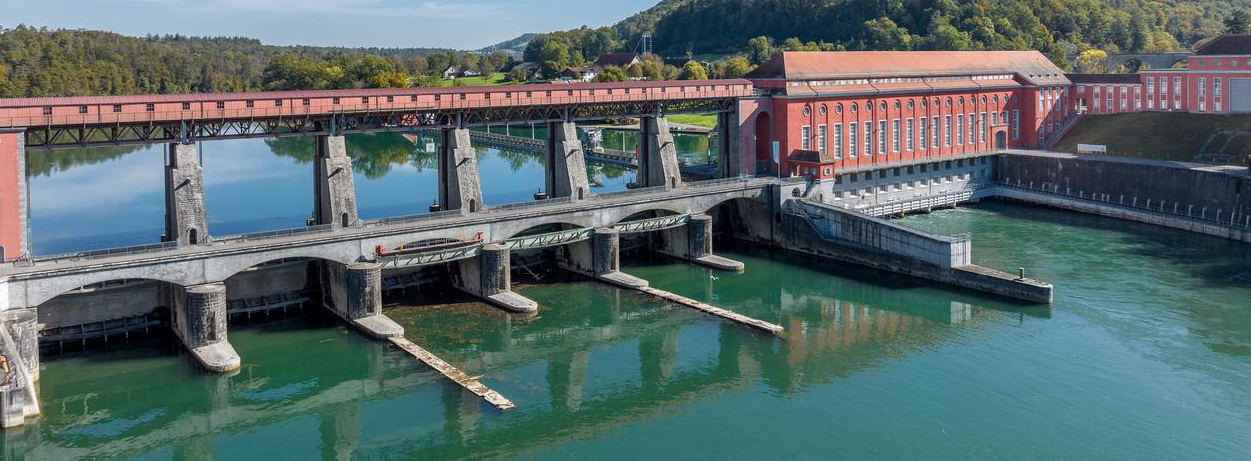
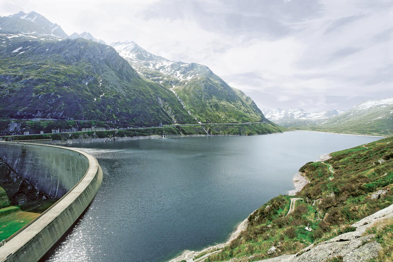
Knowledge of the processes occurring in the vicinity of dam installations is essential for their safe operation. Traditional monitoring concepts for natural hazards are based on the observation of individual points. Defining these monitoring points requires specific prior knowledge of the area, and their marking in the field is often time-consuming and also involves risks.
With modern area-wide surveying technologies such as drone-based photogrammetry or laser scanning, technologies are now available that provide precise information. The results of these surveying technologies enable large-scale analyses across entire areas, without the need for prior knowledge or on-site investigation by personnel.
We offer a complete service package
-
Flexible use
Without long lead times.
-
Secure data collection from the air or from the ground
Depending on the area of application.
-
High-resolution surface models
For detailed results.
-
Expert analysis
Expert assessment on request.
Comprehensive assessment of terrain conditions – digital results without any site visits
Details of the service package
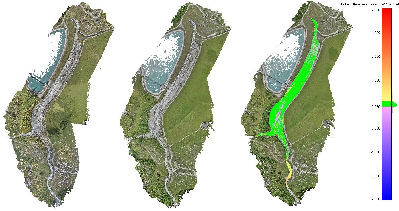
Our area-wide monitoring approach enables precise analysis and assessment of movements (e.g., landslide areas) and volume changes (e.g., sediment deposits in water bodies during dry conditions). Upon request, our experts in the fields of environment, hydraulic engineering, mechanical engineering, and dam safety can professionally analyze and evaluate the results. Thanks to our modular service package, you can flexibly choose which services you require, tailored exactly to your needs.
Customized monitoring concepts
- Execution by Axpo (with high accuracy using photogrammetry / TLS)
- Planning and control point definition by Axpo
- Independent drone flight with support from Axpo
- Analysis and modeling by Axpo
Detailed results
- Deformation maps
- 3D-Modelle
- Orthophotos
- Mass balances
- Topographic contour maps
References:
«Thanks to the drone surveys and photogrammetric analysis, we were able to quickly obtain precise information about the difference in volume. At the same time, the area-wide evaluation enables extensive monitoring of the slope without the need to install control points. On one hand, this saves time and increases safety, as the potentially hazardous area needs to be accessed less frequently.»
Marius Bühlmann Division Dams, Axpo Power AG
«To assess sedimentation in mountain streams at water intakes and dam installations, we use drones. The high-resolution aerial imagery enables precise and transparent documentation of changes, making it possible to clearly demonstrate developments to third parties.»
Marco Baggio, Powerplant Linth-Limmern
Download
- Service Beschreibung Geländerveränderungen (DE) | 1154KB View Send email Download
Interested ?
Please feel free to contact us. You can provide your contact details via the link below, and we will reach out to you promptly.